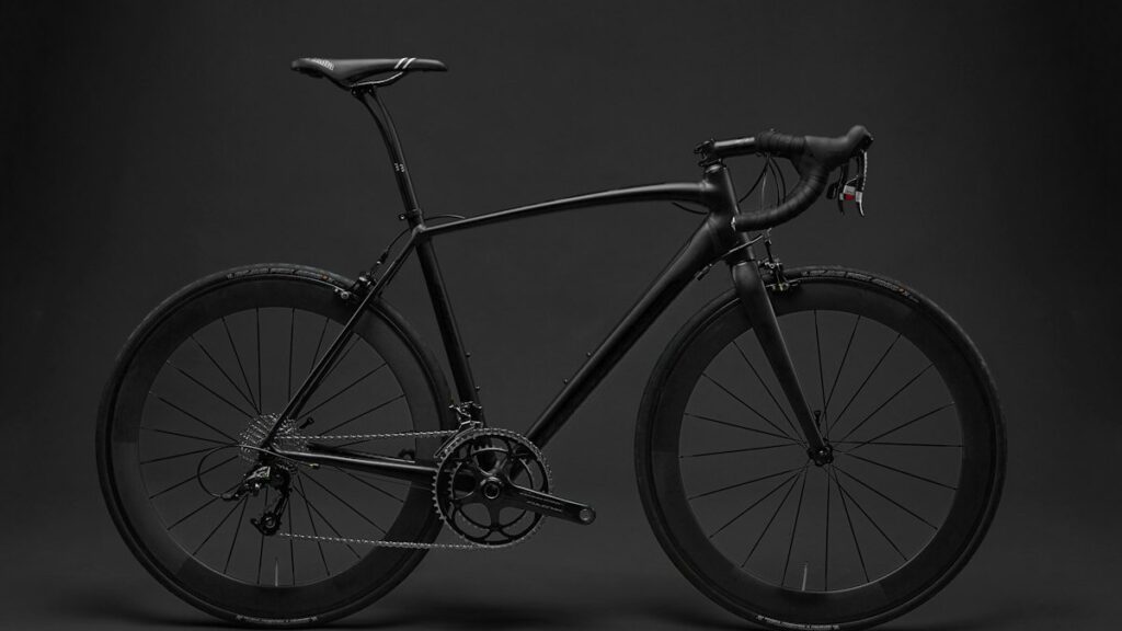
Preparing for the 500-mile mountain crossing requires choosing the right bikepacking Colorado Trail gear for high-altitude passes, unpredictable summer monsoons, and remote wilderness riding during July and August. The primary challenge on this route is managing rapid weather changes above 10,000 feet while carrying your own supplies through extended stretches without resupply.
Quick Trip Facts
- Managing Agency: US Forest Service, Bureau of Land Management, National Park Service
- Difficulty Rating: Extreme backcountry
- Elevation Gain: Approximately 78,000 vertical feet
- Water Sources: Frequent alpine streams, but reliable purification is required due to cattle and wildlife presence
- Required Permits: Free self-issue permits at Wilderness boundary kiosks (Lost Creek, Weminuche, Holy Cross)
Route Navigation and Terrain Milestones
Navigation on the Colorado Trail demands a combination of offline GPS apps and physical topographic maps because cellular service is virtually nonexistent for days at a time. The route begins at Waterton Canyon near Denver and climbs southwest toward Durango, traversing the Collegiate West and East variants. The highest point reaches 13,300 feet at Searle Pass. Riders must track their mileage meticulously between water sources, particularly across the arid Segment 4 and the exposed ridges of the San Juan Mountains where afternoon lightning storms present a severe hazard.
Trail tread ranges from smooth singletrack to boulder-strewn hike-a-bike sections that will test your patience and footwear. Expect to push your loaded rig up multiple steep passes exceeding 11,000 feet. Packing your bikepacking Colorado Trail gear with weight distribution in mind keeps the bicycle manageable during technical descents and prolonged ascents.
Obstacle Management and High-Altitude Pushes
Physical exhaustion and altitude sickness are the primary obstacles you will face on this expedition. Acclimatizing in Denver or a mountain town for at least 48 hours before departure prevents acute mountain sickness. Afternoon thunderstorms develop rapidly between noon and 3 PM. You must time your climbs to clear exposed timberline ridges before midday.
River crossings can run dangerously high during early July snowmelt. Scout crossings before wading in with your bike, or look for downed logs if the current is swift. Mud and sticky clay during monsoon rains can clog your bike frame and derailleur pulleys, making a sturdy multi-tool and spare derailleur hanger mandatory additions to your kit.
Shelter Options and Campsite Selection
Choosing a shelter for this journey requires balancing storm-worthiness with packed size. Double-wall tents with full-coverage rainflies withstand high winds and heavy condensation common at high-altitude timberline campsites. Always pitch your tent below tree line whenever possible to avoid lightning strikes during overnight storms. Secure all food in certified bear-resistant containers or use approved ursack bags hung at least 10 feet high and 4 feet out from tree trunks.
Route Logistics and Essential Safety Protocols
Wildlife mitigation on the Colorado Trail requires storing all scented items properly. Black bears inhabit the entire length of the trail, and mountain lions frequent rocky outcrops. Carry Environmental Protection Agency-registered bear spray in an easily accessible cockpit mount rather than buried deep inside a pack frame bag.
Establish emergency exit routes before leaving trailheads. Forest Service roads intersect the trail at various highway crossings including Kenosha Pass, Monarch Pass, and Molas Pass, providing vehicle access points for evacuation. Carry a two-way satellite communicator such as a Garmin inReach to transmit check-ins and summon Search and Rescue if structural bike failure or severe injury occurs miles from pavement.
Recommended Expedition Equipment for Bikepacking Colorado Trail Gear
We compared manufacturer specifications, owner reviews, and published data to evaluate the best gear for this demanding route. No hands-on testing was conducted by our staff.
Big Agnes Copper Spur HV UL2 Tent
This freestanding tent offers a generous interior volume and stable pole structure for windy alpine nights. However, its lightweight fabrics are prone to punctures from sharp granite rocks, and the carbon pole segments require careful handling in cold weather. An alternative choice for extreme wind is the Tarptent Scarp 2, which provides superior pitch rigidity.
Ortlieb Gravel-Packer Panniers
These waterproof panniers mount securely to low-rider racks and keep gear completely dry through torrential downpours. Weaknesses include a mounting system that can rattle loose on washboard descents, and the outer fabric can abrade against sharp rocks during tip-overs. A better alternative for ultra-rough terrain is a specialized frame bag and seat pack system like the Revelate Designs Pronghorn setup.
Katadyn BeFree 1L Water Filter
The fast flow rate makes hydration simple during quick stops along alpine streams. The filter clogs quickly when drawing water from silty beaver ponds, and the collapsible flask material degrades over months of heavy UV exposure. For higher reliability in silty water, a Sawyer Squeeze filter is a more durable alternative.
Related Camper Conner Field Guides & Official Resources:
Frequently Asked Questions
When is the best time of year to ride the Colorado Trail?
Late July through mid-September offers the most reliable weather window. Earlier in July, lingering snowpacks block high mountain passes, and late September brings freezing overnight temperatures and sudden snowstorms.
Can I ride the Colorado Trail on a gravel bike?
While some riders attempt portions on drop-bar gravel bikes with wide tires, a full-suspension or hardtail mountain bike is strongly recommended to handle the boulder fields, steep loose descents, and rough hike-a-bike sections.
How many days does it take to complete the entire route?
Most self-supported bikepackers take between 10 and 15 days to complete the full 500-mile journey, depending on fitness levels, resupply frequency, and weather delays.
Where can I resupply food along the route?
Key resupply towns include Fairplay, Leadville, Salida, Creede, and Silverton. Some riders mail food boxes to post offices or general stores near highway crossings to reduce resupply weight.
🚲 Top Bikepacking & E-Bike Trail Upgrades
Equip your rig with weatherproof mounts, panniers, and ultralight pumps: check CycleAddons Official Store → and FLEXTAIL Pocket Pumps → (or read our full CycleAddons review).